| Ras al Hadd Airport مطار رأس الحد | |||||||||||
|---|---|---|---|---|---|---|---|---|---|---|---|
| Summary | |||||||||||
| Airport type | Public / Military | ||||||||||
| Owner | Government of Oman | ||||||||||
| Serves | Ras al Hadd, Oman | ||||||||||
| Elevation AMSL | 31 ft / 9 m | ||||||||||
| Coordinates | 22°15′53″N 59°44′32″E / 22.26472°N 59.74222°E / 22.26472; 59.74222 | ||||||||||
| Website | http://www.omanairports.com/ | ||||||||||
| Map | |||||||||||
     | |||||||||||
| Runways | |||||||||||
| |||||||||||
| Source: Google Maps | |||||||||||
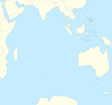
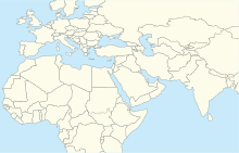
Ras al Hadd Airport (ICAO: OORH) is an airport in Ash Sharqiyah Region of Oman, about 30 km south of the town of Ras al Hadd. Construction began in 2011,, but apart from laying down the runway, nothing else was constructed.
The airport is 7 kilometres (4.3 mi) inland from the Arabian Sea coast. The Sur VOR-DME (Ident: SUR) is located 22.1 nautical miles (41 km) northwest of the airport.
See also
References
- "Ras Al Hadd Airport". Google Maps. Google. Retrieved 1 February 2019.
- "Three new airports". Oman Info. Retrieved 1 February 2019.
- Google Earth Historical Imagery (10/7/2011)
- "Ras al Hadd completion". Center for Aviation. CAPA. Retrieved 1 February 2019.
- "Sur VOR". Our Airports. Retrieved 6 December 2018.
External links
Portals:| Airports in Oman | |
|---|---|
| Major international | |
| Minor international | |
| Domestic | |
| Unscheduled | |
This article about the geography of Oman is a stub. You can help Misplaced Pages by expanding it. |
This article about transport in Oman is a stub. You can help Misplaced Pages by expanding it. |