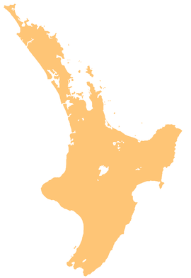
River in New ZealandRaukokore River Route of the Raukokore River Location Country New Zealand Physical characteristics Source Raukūmara Range • coordinates 37°45′41″S 178°06′13″E / 37.76142°S 178.10349°E / -37.76142; 178.10349
Mouth • location Papatea Bay • coordinates 37°43′59″S 177°58′41″E / 37.73298°S 177.97809°E / -37.73298; 177.97809 Basin features Progression Raukokore River → Papatea Bay → Bay of Plenty → Pacific Ocean Tributaries • left Waireparepa Stream, Tangitarau Stream, Pohakikiwa Stream, Pohueroro Stream, Mangaikakorea Stream, Mangahatoto Stream • right Okapua Stream, Mangahaupapa Stream, Waikura River , Kopungawha Stream, Makaririhau Stream, Waitarata Stream
The Raukokore River is a river in the northeast of New Zealand 's North Island . it flows north from the slopes of the Raukūmara Range , reaching the sea at Papatea Bay close to the small settlement of Raukokore .
References
Ōpōtiki District , New Zealand Seat : Ōpōtiki Populated places Ōpōtiki Ward
Waioeka-Waiotahe-Otara Ward
Coast Ward
Geographic features
Facilities and attractions
Government
- formerly a populated place within Waioeka-Waiotahe Ward until 2010 or 2013
Categories :
Text is available under the Creative Commons Attribution-ShareAlike License. Additional terms may apply.
**DISCLAIMER** We are not affiliated with Wikipedia, and Cloudflare.
The information presented on this site is for general informational purposes only and does not constitute medical advice.
You should always have a personal consultation with a healthcare professional before making changes to your diet, medication, or exercise routine.
AI helps with the correspondence in our chat.
We participate in an affiliate program. If you buy something through a link, we may earn a commission 💕
↑
 The mouth of the Raukokore River
