| Roxen | |
|---|---|
 Roxen at sunset Roxen at sunset | |
  | |
| Coordinates | 58°30′N 15°41′E / 58.500°N 15.683°E / 58.500; 15.683 |
| Primary inflows | Motala ström, Svartån, Stångån |
| Primary outflows | Motala ström |
| Basin countries | Sweden |
| Surface area | 97 km (37 sq mi) |
| Max. depth | 8 m (26 ft) |
| Surface elevation | 32 m (105 ft) |
| Ramsar Wetland | |
| Official name | Västra Roxen |
| Designated | 14 November 2001 |
| Reference no. | 1133 |
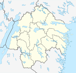
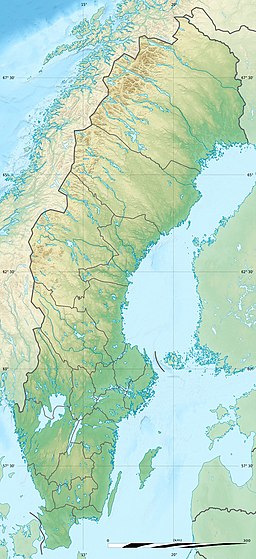
Roxen (Swedish pronunciation: [ˈrɔ̌ksɛn]) is a medium-sized lake in south-central Sweden, east of Lake Vättern, part of the waterpath Motala ström and the Göta Canal. South of Lake Roxen is the city Linköping.
Roxen, especially the western parts, is very good for birdwatching. There are natural reserves at Kungsbro and Svartåmynningen.
The lake develops in a graben depression.
References
- "Västra Roxen". Ramsar Sites Information Service. 7 November 2017. Retrieved 25 April 2018.
- Sahlgren, Jöran; Bergman, Gösta (1979). Svenska ortnamn med uttalsuppgifter (in Swedish). p. 20.
- "Kungsbro". www5.e.lst.se. Archived from the original on 2 September 2007. Retrieved 7 November 2017.
- "Svartåmynningen". www5.e.lst.se. Archived from the original on 2 September 2007. Retrieved 7 November 2017.
- Mattsson, Jan O., ed. (1984). Terrängformer i Norden (in Swedish). Nordiska ministerrådet. p. 133. ISBN 91-38-08241-1.
This article about a location in Östergötland County, Sweden is a stub. You can help Misplaced Pages by expanding it. |
This plate tectonics article is a stub. You can help Misplaced Pages by expanding it. |