| Santa Maria del Camí | |
|---|---|
| Municipality | |
 Santa Maria del Camí and Puig de Massanella Santa Maria del Camí and Puig de Massanella | |
 Coat of arms Coat of arms | |
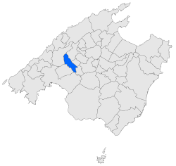
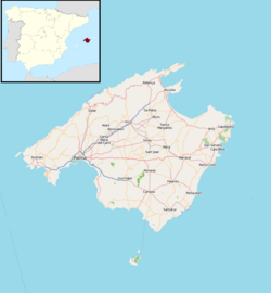
 Location of Santa Maria del Camí in Mallorca Location of Santa Maria del Camí in Mallorca | |
   | |
| Coordinates: 39°39′4″N 2°46′23″E / 39.65111°N 2.77306°E / 39.65111; 2.77306 | |
| Country | |
| Autonomous community | |
| Province | Balearic Islands |
| Comarca | Raiguer |
| Judicial district | Palma de Mallorca |
| Government | |
| • Mayor | María Rosa Vich Vich |
| Area | |
| • Total | 37.62 km (14.53 sq mi) |
| Elevation | 132 m (433 ft) |
| Population | |
| • Total | 7,167 |
| • Density | 190/km (490/sq mi) |
| Demonym | Santamariers |
| Time zone | UTC+1 (CET) |
| • Summer (DST) | UTC+2 (CEST) |
| Postal code | 07320 |
Santa Maria del Camí (Catalan pronunciation: [səntə məˈɾi.ə ðəl kəˈmi]) is a municipality in the Comarca of Raiguer on Majorca, one of the Balearic Islands, Spain. It is located about 17km north east of the island's capital, Palma de Mallorca. Santa Maria del Camí was an important stop along the Camí Reial, which linked Palma with Inca and other towns in the region. This heritage is visible in the town's medieval architecture and the preserved stone streets. The central square, Plaça de la Vila, is a focal point with buildings dating back to the 17th century, including the historic Town Hall and the Santa Maria Church, a landmark established in the 13th century.
References
- Municipal Register of Spain 2018. National Statistics Institute.
- "Santa Maria del Camí / Mallorca". illesbalears.travel. Retrieved 2024-11-03.
This article about a location in the Balearic Islands is a stub. You can help Misplaced Pages by expanding it. |