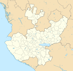
| Santa Rita | |
|---|---|
| Town | |
  | |
| Coordinates: 20°26′31″N 102°23′38″W / 20.44207°N 102.3938°W / 20.44207; -102.3938 | |
| Country | Mexico |
| State | Jalisco |
| Municipality | Ayotlán |
| Elevation | 1,579 m (5,180 ft) |
| Population | |
| • Total | 2,608 |
| Time zone | UTC−6 (Central Standard Time) |
| • Summer (DST) | UTC−5 (Central Daylight Time) |
| Postal code | 47904 |
Santa Rita is a town in the southwest of the Ayotlán Municipality, Jalisco. It has 2,608 inhabitants during the 2020 Mexico census, it is located at 11.4 km from Ayotlán, 36 km from Atotonilco El Alto and 21 km from Yurécuaro, Michoacán.
This place is better known due to the water park located at the entrance of the town, towards Yurécuaro.
References
- ^ "Santa Rita (Ayotlán, Jalisco)". pueblosamerica.com. Retrieved 27 July 2022.
- "Santa Rita, Ayotlán - 47904". micodigopostal.org.
- "Santa Rita Jalisco (Ayotlán) Mexico". www.en.nuestro-mexico.com. Retrieved 27 July 2022.
- "Parqué Acuático Santa Rita". www.parqueacuaticosantarita.com.mx (in Spanish). Retrieved 27 July 2022.
This article about a location in the Mexican state of Jalisco is a stub. You can help Misplaced Pages by expanding it. |