| Sibiti Airport | |||||||||||
|---|---|---|---|---|---|---|---|---|---|---|---|
| Summary | |||||||||||
| Airport type | Public | ||||||||||
| Serves | Sibiti, Republic of the Congo | ||||||||||
| Elevation AMSL | 1,883 ft / 574 m | ||||||||||
| Coordinates | 3°41′12″S 13°22′20″E / 3.68667°S 13.37222°E / -3.68667; 13.37222 | ||||||||||
| Map | |||||||||||
 | |||||||||||
| Runways | |||||||||||
| |||||||||||
| Source: GCM Google Maps | |||||||||||
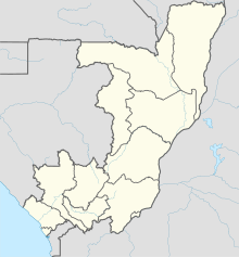
Sibiti Airport (IATA: SIB, ICAO: FCBS) is an airport serving the city of Sibiti, Republic of the Congo. The airport is just east of the city. It replaces the former airstrip 10 kilometres (6.2 mi) southeast of town.
The runway has an additional 90 metres (300 ft) of paved overrun on each end.
See also
 Republic of the Congo portal
 Aviation portal
- List of airports in the Republic of the Congo
- Transport in the Republic of the Congo
References
- Airport information for Sibiti Airport at Great Circle Mapper.
- Google Maps - Sibiti
- "Google Maps". Google Maps. Retrieved 2018-08-20.
External links
| Airports in Republic of the Congo | |
|---|---|
This article about an airport in the Republic of the Congo is a stub. You can help Misplaced Pages by expanding it. |