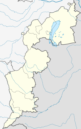
| Steinbrunn | |
|---|---|
| Municipality | |
 Parish church „Zum heiligen Kreuz” Parish church „Zum heiligen Kreuz” | |
 Coat of arms Coat of arms | |
  | |
| Coordinates: 47°50′09″N 16°24′47″E / 47.83583°N 16.41306°E / 47.83583; 16.41306 | |
| Country | |
| State | Burgenland |
| District | Eisenstadt-Umgebung |
| Government | |
| • Mayor | Thomas Kittelmann (ÖVP) |
| Area | |
| • Total | 15.36 km (5.93 sq mi) |
| Elevation | 241 m (791 ft) |
| Population | |
| • Total | 2,614 |
| • Density | 170/km (440/sq mi) |
| Time zone | UTC+1 (CET) |
| • Summer (DST) | UTC+2 (CEST) |
| Postal code | 7035 |
Steinbrunn (till 1958: Stinkenbrunn, Hungarian: Büdöskút, Croatian: Štikapron) is a town in the district of Eisenstadt-Umgebung in the Austrian state of Burgenland.
Population
| Year | Pop. | ±% |
|---|---|---|
| 1869 | 1,516 | — |
| 1880 | 1,581 | +4.3% |
| 1890 | 1,799 | +13.8% |
| 1900 | 1,779 | −1.1% |
| 1910 | 1,399 | −21.4% |
| 1923 | 1,608 | +14.9% |
| 1934 | 1,508 | −6.2% |
| 1939 | 1,347 | −10.7% |
| 1951 | 1,306 | −3.0% |
| 1961 | 1,272 | −2.6% |
| 1971 | 1,298 | +2.0% |
| 1981 | 1,388 | +6.9% |
| 1991 | 1,584 | +14.1% |
| 2001 | 1,902 | +20.1% |
| 2011 | 2,320 | +22.0% |
| 2021 | 2,932 | +26.4% |
References
- "Dauersiedlungsraum der Gemeinden Politischen Bezirke und Bundesländer - Gebietsstand 1.1.2018". Statistics Austria. Retrieved 10 March 2019.
- "Einwohnerzahl 1.1.2018 nach Gemeinden mit Status, Gebietsstand 1.1.2018". Statistics Austria. Retrieved 9 March 2019.
This Burgenland location article is a stub. You can help Misplaced Pages by expanding it. |