| Tafelberg | |
|---|---|
 | |
| Highest point | |
| Elevation | 1,026 m (3,366 ft) |
| Coordinates | 3°54′30″N 56°10′20″W / 3.90833°N 56.17222°W / 3.90833; -56.17222 |
| Geography | |
| Location | Sipaliwini District, Suriname |
| Parent range | Wilhelmina Mountains |
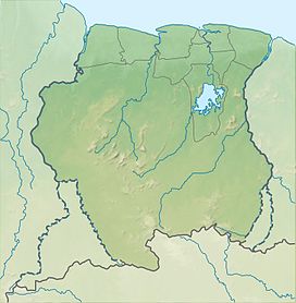
Tafelberg (literally "Table Mountain") is one of the highest mountains in Suriname at 1,026 metres (3,366 ft). It is a tepui and is part of the Tafelberg Nature Reserve. The mountain is in the Sipaliwini District. The Rudi Kappel Airstrip, former name: Tafelberg Airstrip, is nearby. In 1943, the mountain was climbed for the first time by the Coppename River expedition led by Dirk Geijskes.
Notable disasters
 In 1944 US Air Force Captain Atkinson while on a reconnaissance flight over the South of Suriname, had to make a crashlanding on the Tafelberg. Fortunately he was rescued after a few days by a military search and rescue expedition.
 On 25 October 1968 a Douglas C-47A PH-DAA of KLM Aerocarto flew into the Tafelberg following an engine failure whilst on a survey flight. The aircraft collided with the mountain in cloud, killing three of the five people on board.
References
- Arno Landewers. "Wetenschappelijke verkenningsvluchten boven Suriname 1938-1958" (PDF) (in Dutch). pp. 2–3. Retrieved 14 January 2022.
- Wagenaar Hummelinck, P. (1972). "To Dr Dirk Cornelis Geijskes on his 65th birthday" (PDF). Odonatologica. 4: 183.
- "PH-DAA Accident description". Aviation Safety Network. Retrieved 24 July 2011.
External links
This Suriname location article is a stub. You can help Misplaced Pages by expanding it. |