| Ureña | |
|---|---|
 | |
| Coordinates: 7°55′6″N 72°26′48″W / 7.91833°N 72.44667°W / 7.91833; -72.44667 | |
| Country | |
| State | Táchira |
| Municipality | Pedro María Ureña Municipality |
| Area | |
| • Total | 114 km (44 sq mi) |
| Elevation | 310 m (1,020 ft) |
| Population | |
| • Total | 37,932 |
| • Density | 330/km (860/sq mi) |
| Time zone | UTC−4 (VET) |
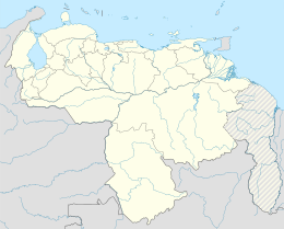
Ureña is a city and the shire town of Pedro María Ureña Municipality, Táchira in Venezuela. It is located on the border with Colombia. The city was founded by Pedro María Ureña, having been elevated to the category of parish by means of the provincial law of December 4, 1851.
References
- Ureña - Estado Táchira (información). Pueblos2.0. Consultado el 23 de julio de 2013.
- Gobierno Bolívariano - Pedro María Ureña. Consultado el 23 de julio de 2013.
- Actos acordados por la h. diputación provincial del Táchira, Venezuela. Consultado el 23 de julio de 2013.
This article related to a location in Táchira State, Venezuela is a stub. You can help Misplaced Pages by expanding it. |