| Multa Мульта | |
|---|---|
| Village | |
 | |
  | |
| Coordinates: 50°10′N 85°57′E / 50.167°N 85.950°E / 50.167; 85.950 | |
| Country | Russia |
| Region | Altai Republic |
| District | Ust-Koksinsky District |
| Time zone | UTC+7:00 |
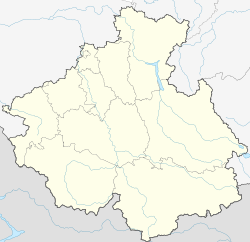
Multa (Russian: Мульта; Altay: Мый Туу, Mıy Tuu) is a rural locality (a selo) in Verkh-Uymonskoye Rural Settlement of Ust-Koksinsky District, the Altai Republic, Russia. The population was 704 as of 2016. There are 10 streets.
Geography
Multa is located on the right bank of the Katun River, 33 km southeast of Ust-Koksa (the district's administrative centre) by road. Zamulta is the nearest rural locality.
References
- Карта села Мульта в республике Алтай
- "Оценка численности постоянного населения Республики Алтай по населённым пунктам за 2012-2016 годы". statra.gks.ru. Archived from the original on 2019-03-04. Retrieved 2018-09-24.
- Расстояние от Мульты до Усти-Коксы
External links
- 7 unique and isolated Russian villages. Russia Beyond.
This Altai Republic location article is a stub. You can help Misplaced Pages by expanding it. |