River in New Zealand
| Waiaua River | |
|---|---|
 Bridge over the Waiaua River south-east of Ōpunake (circa 1910s). Bridge over the Waiaua River south-east of Ōpunake (circa 1910s). | |
| Route of the Waiaua River | |
  | |
| Location | |
| Country | New Zealand |
| Physical characteristics | |
| Source | |
| • location | Mount Taranaki |
| • coordinates | 39°18′13″S 174°03′05″E / 39.30355°S 174.0514°E / -39.30355; 174.0514 |
| Mouth | |
| • location | South Taranaki Bight |
| • coordinates | 39°27′46″S 173°51′42″E / 39.4627°S 173.8618°E / -39.4627; 173.8618 |
| • elevation | 0 m (0 ft) |
| Length | 25 km (16 mi) |
| Basin features | |
| Progression | Waiaua River → South Taranaki Bight → Tasman Sea |
| Tributaries | |
| • left | Waiaua Fork Stream |
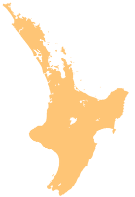
The Waiaua River is a river of the Taranaki Region of New Zealand's North Island. It flows southwest from the slopes of Mount Taranaki to reach the Tasman Sea at Ōpunake.
The New Zealand Ministry for Culture and Heritage gives a translation of "waters containing herring" for Waiaua. Aua is usually translated as yellow-eye mullet.
See also
References
"Place name detail: Waiaua River". New Zealand Gazetteer. New Zealand Geographic Board. Retrieved 12 July 2009.
- "1000 Māori place names". New Zealand Ministry for Culture and Heritage. 6 August 2019.
- "aua". Māori Dictionary. Te Whanake. Retrieved 31 December 2019.
External links
- Photo - railway bridge in 1925
| South Taranaki District, New Zealand | |||||||||
|---|---|---|---|---|---|---|---|---|---|
| Seat: Hāwera | |||||||||
| Populated places |
| ||||||||
| Geographic features | |||||||||
| Facilities and attractions | |||||||||
| Government | |||||||||
| Organisations | |||||||||
| History | |||||||||
| Egmont National Park, New Zealand | |
|---|---|
| Mountains and ranges | |
| Swamps | |
| Rivers | |
| Lakes | |
| Waterfalls | |
| Ski fields and structures | |
This article about a river in Taranaki is a stub. You can help Misplaced Pages by expanding it. |