| Skaupsjøen | |
|---|---|
   | |
| Location | Eidfjord, Vestland and Nore og Uvdal, Buskerud |
| Coordinates | 60°20′48″N 7°41′34″E / 60.3467°N 7.6928°E / 60.3467; 7.6928 |
| Basin countries | Norway |
| Max. length | 5 kilometres (3.1 mi) |
| Max. width | 1 kilometre (0.62 mi) |
| Surface area | 2.88 km (1.11 sq mi) |
| Shore length | 26.24 kilometres (16.30 mi) |
| Surface elevation | 1,158 metres (3,799 ft) |
| References | NVE |
| Shore length is not a well-defined measure. | |
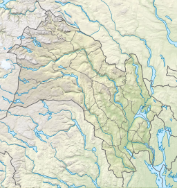
Skaupsjøen is a lake in the municipalities of Eidfjord in Vestland county and Nore og Uvdal in Buskerud county, Norway. The 2.88-square-kilometre (1.11 sq mi) lake lies just north of the Hardangervidda National Park on the vast Hardangervidda plateau. The lake outflows to the river Skaupa, which flows into the larger lake Halnefjorden to the northeast. The nearest road access is the Norwegian National Road 7, which passes about 5 kilometres (3.1 mi) northwest of the lake.
See also
References
- "Skaupsjøen, Nore og Uvdal (Buskerud)" (in Norwegian). yr.no. Retrieved 2014-05-31.
This Vestland location article is a stub. You can help Misplaced Pages by expanding it. |
This Buskerud location article is a stub. You can help Misplaced Pages by expanding it. |