| Vestre Bjonevatnet | |
|---|---|
   | |
| Location | Ringerike (Buskerud); Søndre Land, Gran (Innlandet) |
| Coordinates | 60°31′24″N 10°7′37″E / 60.52333°N 10.12694°E / 60.52333; 10.12694 |
| Basin countries | Norway |
| Max. length | 4 kilometres (2.5 mi) |
| Max. width | 1.3 kilometres (0.81 mi) |
| Surface area | 2.16 km (0.83 sq mi) |
| Max. depth | 72 metres (236 ft) |
| Shore length | 15 kilometres (9.3 mi) |
| Surface elevation | 229 metres (751 ft) |
| References | NVE |
| Shore length is not a well-defined measure. | |
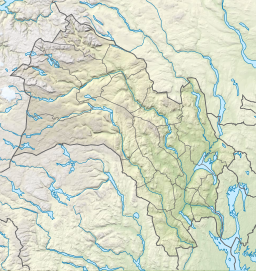
Vestre Bjonevatnet is a small lake in Norway. The 2.16-square-kilometre (0.83 sq mi) lake is located primarily in Ringerike Municipality in Buskerud county and the far northern tip of the lake stretches across the border into Søndre Land Municipality and Gran Municipality in Innlandet county. The lake is situated between the lakes Sperillen and Randsfjorden. The European route E16 highway runs north–south, about 2 kilometres (1.2 mi) to the west of the lake.
See also
References
- "Innsjødatabase". nve.no (in Norwegian). Retrieved 9 October 2022.
- "Vestre Bjonevatnet". Sportsfiske i Ringerike.
This article related to a lake in Innlandet in Norway is a stub. You can help Misplaced Pages by expanding it. |
This article related to a lake in Buskerud in Norway is a stub. You can help Misplaced Pages by expanding it. |